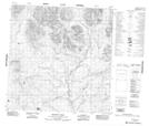
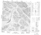
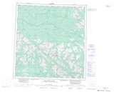
Maps showing Dead Sheep Creek, Yukon
Dead Sheep Creek is a River located in Yukon and has an elevation of 1407 meters.
- Latitude: 61° 19' 37'' North (decimal: 61.3269444)
- Longitude: 131° 51' 52'' West (decimal: -131.8644444)
- Topography Feature Category: River
- Geographical Feature: Creek
- Canadian Province/Territory: Yukon
- Elevation: 1407 meters
- Atlas of Canada Locator Map: Dead Sheep Creek
- GPS Coordinate Locator Map: Dead Sheep Creek Lat/Long
Dead Sheep Creek NTS Map Sheets