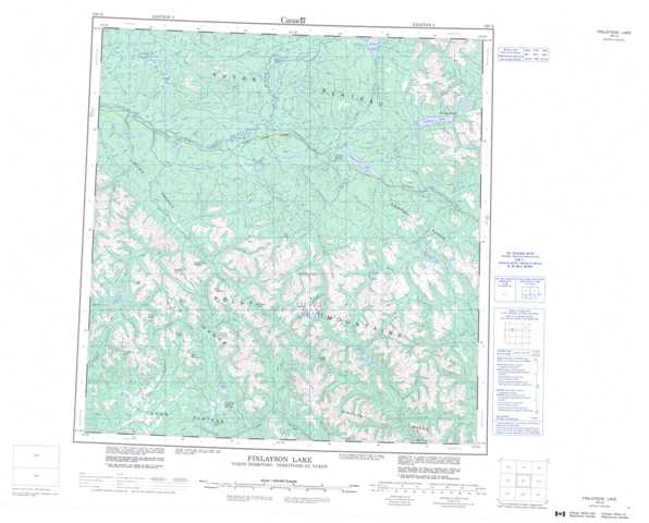
105G Finlayson Lake Topographic Maps
Maps for the Finlayson Lake map sheet 105G at 1:250,000 scale are available in 5 versions:
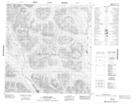
Topographic Map of Finlayson Lake
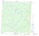
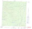
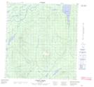
1:50,000 Scale Topos for Finlayson Lake 105G:
 |
 |
 |
 |
 |
 |
 |
 |
 |
 |
 |
 |
 |
 |
 |
 |
105G Related Maps:
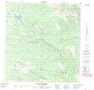
105G Finlayson Lake
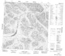
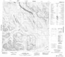
105G01 Waters Creek
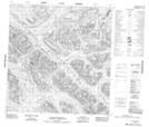
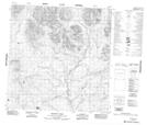
105G02 Fire Lake
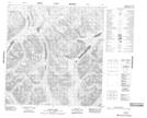
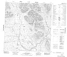
105G03 Junkers Lake
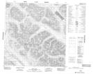
105G04 Prospect Creek
105G05 Mount Placid
105G06 Mount Resistance
105G07 Grass Lakes
105G08 Wolverine Lake
105G09 Mcevoy Creek
105G10 Big Campbell Creek
105G11 Mink Creek
105G12 Starr Creek
105G13 Weasel Lake
105G14 No Title
105G15 Fortin Creek
105G16 Mc Evoy Lake
105G01 Waters Creek
105G02 Fire Lake
105G03 Junkers Lake
105G04 Prospect Creek
105G05 Mount Placid
105G06 Mount Resistance
105G07 Grass Lakes
105G08 Wolverine Lake
105G09 Mcevoy Creek
105G10 Big Campbell Creek
105G11 Mink Creek
105G12 Starr Creek
105G13 Weasel Lake
105G14 No Title
105G15 Fortin Creek
105G16 Mc Evoy Lake
