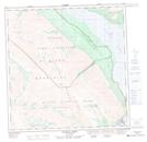
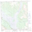
Maps showing Destruction Bay, Yukon
Destruction Bay is a Unincorporated area located in Yukon and has an elevation of 777 meters.
- Latitude: 61° 15' 10'' North (decimal: 61.2527777)
- Longitude: 138° 48' 11'' West (decimal: -138.8030556)
- Topography Feature Category: Unincorporated area
- Geographical Feature: Settlement
- Canadian Province/Territory: Yukon
- Elevation: 777 meters
- Atlas of Canada Locator Map: Destruction Bay
- GPS Coordinate Locator Map: Destruction Bay Lat/Long
Destruction Bay NTS Map Sheets