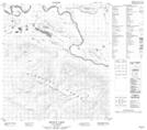
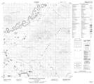
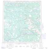
Maps showing The Detour, Yukon
The Detour is a River feature located in Yukon and has an elevation of 553 meters.
- Latitude: 62° 44' 13'' North (decimal: 62.7369444)
- Longitude: 134° 41' 58'' West (decimal: -134.6994444)
- Topography Feature Category: River feature
- Geographical Feature: Bend
- Canadian Province/Territory: Yukon
- Elevation: 553 meters
- Atlas of Canada Locator Map: The Detour
- GPS Coordinate Locator Map: The Detour Lat/Long
The Detour NTS Map Sheets