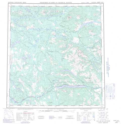
105L Glenlyon Topographic Maps
Maps for the Glenlyon map sheet 105L at 1:250,000 scale are available in 5 versions:
Topographic Map of Glenlyon
1:50,000 Scale Topos for Glenlyon 105L:
 |
 |
 |
 |
 |
 |
 |
 |
 |
 |
 |
 |
 |
 |
 |
 |
105L Related Maps:
105L Glenlyon
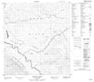
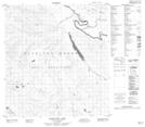
105L01 Truitt Creek
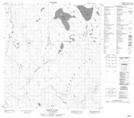
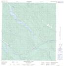
105L02 Snowcap Mountain
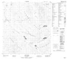
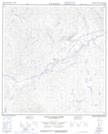
105L03 Little Salmon River
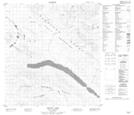
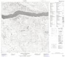
105L04 Frenchman Lake
105L05 Tadru Lake
105L06 Afe Peak
105L07 Drury Lake
105L08 Glenlyon Lake
105L09 Menzie Creek
105L10 Detour Lakes
105L11 Ragged Lake
105L12 Tatlmain Lake
105L13 Little Kalzas Lake
105L14 Safety Pin Bend
105L15 Dromedary Mountain
105L16 Earn Lake
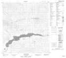
105L01 Truitt Creek
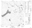
105L02 Snowcap Mountain
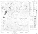
105L03 Little Salmon River
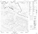
105L04 Frenchman Lake
105L05 Tadru Lake
105L06 Afe Peak
105L07 Drury Lake
105L08 Glenlyon Lake
105L09 Menzie Creek
105L10 Detour Lakes
105L11 Ragged Lake
105L12 Tatlmain Lake
105L13 Little Kalzas Lake
105L14 Safety Pin Bend
105L15 Dromedary Mountain
105L16 Earn Lake
