Free Glenlyon Topographic Map
Topo maps you can print: 105L Glenlyon
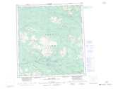
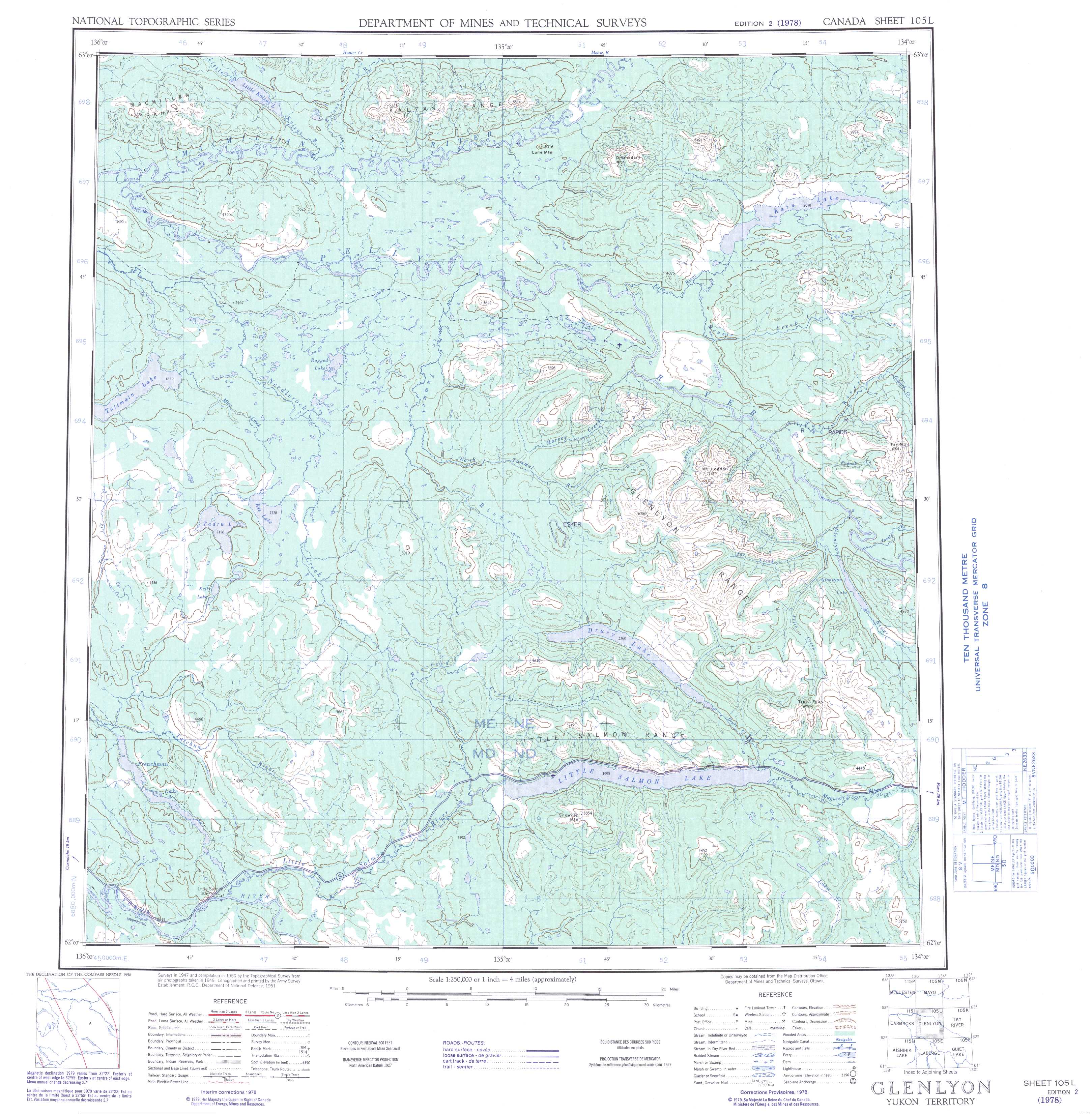
105L Glenlyon Topo Map
To view this map, mouse over the map preview on the right.
You can also download and print this topo map for free:
105L Glenlyon low-resolution printable topographic map.
A high-resolution map of Glenlyon is available on Data-DVD.
Maps for the Glenlyon map sheet 105L at 1:250,000 scale are also available in these 4 versions:
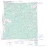
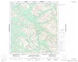
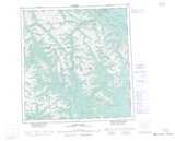
Glenlyon Surrounding Area Topographic Maps at 1:250,000 scale (NTS 105)
 |
 |
 |
 |
 |
 |
 |
 |
 |
 |
 |
 |
 |
 |
 |
 |
© Department of Natural Resources Canada. All rights reserved.
Glenlyon Topo Maps at 1:50,000 (NTS 105L)
 |
 |
 |
 |
 |
 |
 |
 |
 |
 |
 |
 |
 |
 |
 |
 |
© Department of Natural Resources Canada. All rights reserved.
© Department of Natural Resources Canada. All rights reserved.
105L Related Maps:
105L Glenlyon105L01 Truitt Creek
105L02 Snowcap Mountain
105L03 Little Salmon River
105L04 Frenchman Lake
105L05 Tadru Lake
105L06 Afe Peak
105L07 Drury Lake
105L08 Glenlyon Lake
105L09 Menzie Creek
105L10 Detour Lakes
105L11 Ragged Lake
105L12 Tatlmain Lake
105L13 Little Kalzas Lake
105L14 Safety Pin Bend
105L15 Dromedary Mountain
105L16 Earn Lake
