Free Lansing Range Topographic Map
Topo maps you can print: 105N Lansing Range
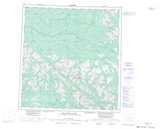
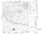
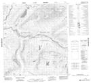
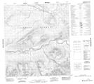
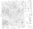
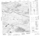
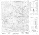
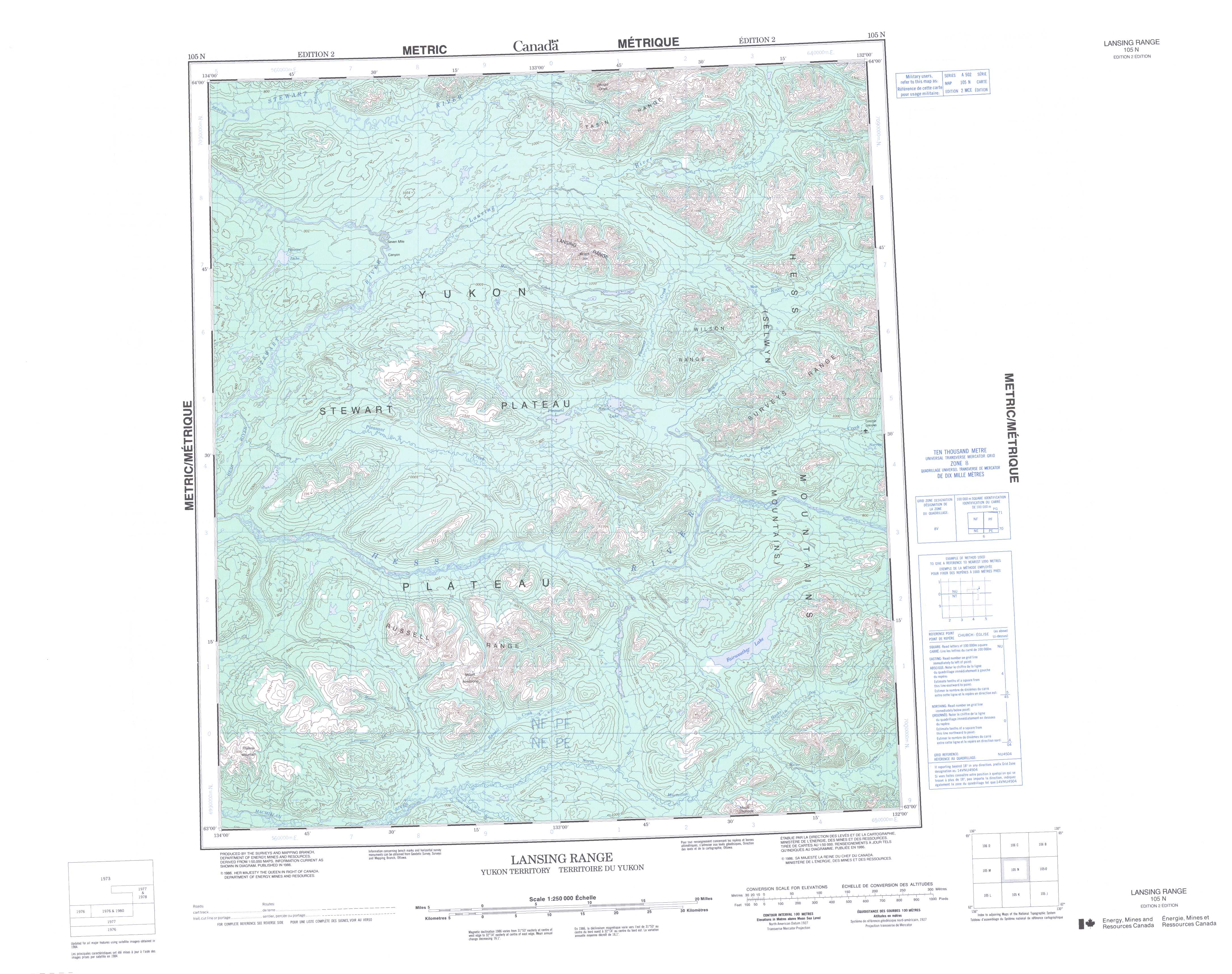
105N Lansing Range Topo Map
To view this map, mouse over the map preview on the right.
You can also download and print this topo map for free:
105N Lansing Range low-resolution printable topographic map.
A high-resolution map of Lansing Range is available on Data-DVD.
Maps for the Lansing Range map sheet 105N at 1:250,000 scale are also available in these 4 versions:
Lansing Range Surrounding Area Topographic Maps at 1:250,000 scale (NTS 105)
 |
 |
 |
 |
 |
 |
 |
 |
 |
 |
 |
 |
 |
 |
 |
 |
© Department of Natural Resources Canada. All rights reserved.
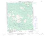
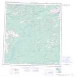
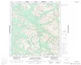
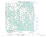
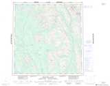
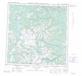
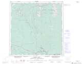
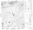
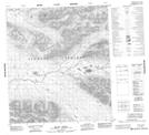
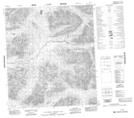
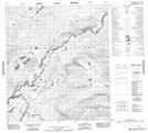
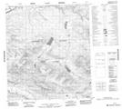
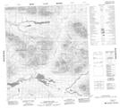
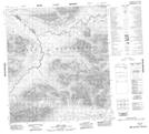
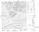
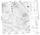
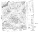
Lansing Range Topo Maps at 1:50,000 (NTS 105N)
 |
 |
 |
 |
 |
 |
 |
 |
 |
 |
 |
 |
 |
 |
 |
 |
© Department of Natural Resources Canada. All rights reserved.
© Department of Natural Resources Canada. All rights reserved.
105N Related Maps:
105N Lansing Range105N01 Husky Dog Creek
105N02 Barr Creek
105N03 Mount Armstrong
105N04 Plateau Mountain
105N05 No Title
105N06 No Title
105N07 No Title
105N08 No Title
105N09 West Lake
105N10 Pleasant Lake
105N11 No Title
105N12 No Title
105N13 Penape Lake
105N14 Seven Mile Canyon
105N15 Mount Ortell
105N16 No Title
