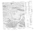
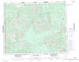
Maps showing Distincta Peak, Yukon
Distincta Peak is a Mountain located in Yukon and has an elevation of 1591 meters.
- Latitude: 65° 0' 57'' North (decimal: 65.0158333)
- Longitude: 138° 17' 13'' West (decimal: -138.2869444)
- Topography Feature Category: Mountain
- Geographical Feature: Peak
- Canadian Province/Territory: Yukon
- Elevation: 1591 meters
- Atlas of Canada Locator Map: Distincta Peak
- GPS Coordinate Locator Map: Distincta Peak Lat/Long
Distincta Peak NTS Map Sheets