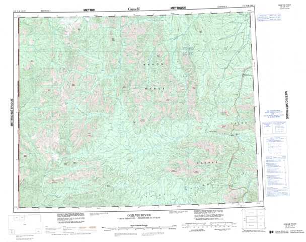
116G Ogilvie River Topographic Maps
Maps for the Ogilvie River map sheet 116G at 1:250,000 scale are available in 5 versions:
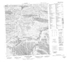
Topographic Map of Ogilvie River
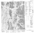
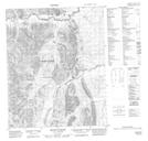
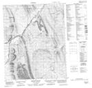
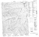
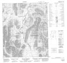
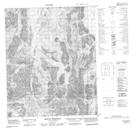
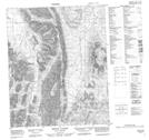
1:50,000 Scale Topos for Ogilvie River 116G:
 |
 |
 |
 |
 |
 |
 |
 |
 |
 |
 |
 |
 |
 |
 |
 |
116G Related Maps:
116G Ogilvie River
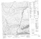
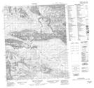
116G01 Engineer Creek
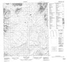
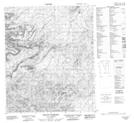
116G02 Mount Chambers
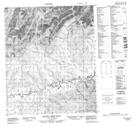
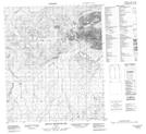
116G03 Mount Skookum Jim
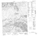
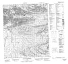
116G04 Mount Fairborn
116G05 Mount Gale
116G06 Mount Chief Isaac
116G07 Mount Bouvette
116G08 Mount Jeckell
116G09 Churchward Hill
116G10 Mount Cluett
116G11 Mount Brimston
116G12 Mount Whitney
116G13 Mount Tagish Charlie
116G14 Mount Fowlie
116G15 Mount Huley
116G16 Mount Harbottle
116G01 Engineer Creek
116G02 Mount Chambers
116G03 Mount Skookum Jim
116G04 Mount Fairborn
116G05 Mount Gale
116G06 Mount Chief Isaac
116G07 Mount Bouvette
116G08 Mount Jeckell
116G09 Churchward Hill
116G10 Mount Cluett
116G11 Mount Brimston
116G12 Mount Whitney
116G13 Mount Tagish Charlie
116G14 Mount Fowlie
116G15 Mount Huley
116G16 Mount Harbottle
