Ogilvie River Topo Map
Free Topo Maps Downloadable Online: 116G
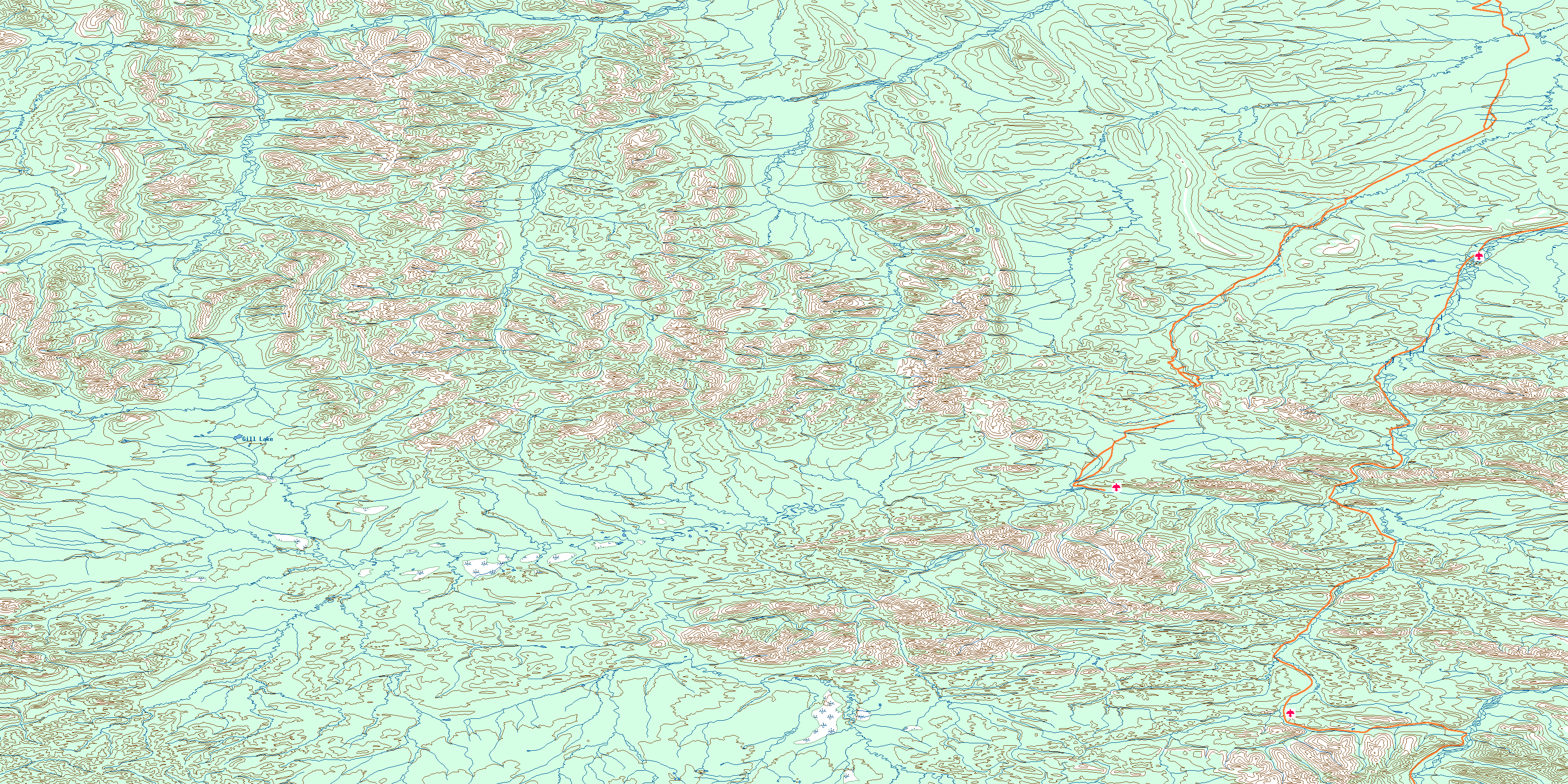
116G Ogilvie River Topo Map
To view this map, mouse over the map preview on the right.
You can also download this topo map for free:
116G Ogilvie River high-resolution topo map image.
Maps for the Ogilvie River map sheet 116G at 1:250,000 scale are also available in these 4 versions:
Ogilvie River Surrounding Area Topos (NTS 116)
 |
 |
||
 |
 |
||
 |
 |
||
 |
 |
© Department of Natural Resources Canada. All rights reserved.
116G Ogilvie River Area Topo Maps at 1:50,000
 |
 |
 |
 |
 |
 |
 |
 |
 |
 |
 |
 |
 |
 |
 |
 |
© Department of Natural Resources Canada. All rights reserved.
© Department of Natural Resources Canada. All rights reserved.
116G Related Maps:
116G Ogilvie River116G01 Engineer Creek
116G02 Mount Chambers
116G03 Mount Skookum Jim
116G04 Mount Fairborn
116G05 Mount Gale
116G06 Mount Chief Isaac
116G07 Mount Bouvette
116G08 Mount Jeckell
116G09 Churchward Hill
116G10 Mount Cluett
116G11 Mount Brimston
116G12 Mount Whitney
116G13 Mount Tagish Charlie
116G14 Mount Fowlie
116G15 Mount Huley
116G16 Mount Harbottle
