Maps showing Donjek River, Yukon
Donjek River is a River located in Yukon and has an elevation of 660 meters.
- Latitude: 62° 36' 5'' North (decimal: 62.6013888)
- Longitude: 139° 59' 51'' West (decimal: -139.9975)
- Topography Feature Category: River
- Geographical Feature: River
- Canadian Province/Territory: Yukon
- Elevation: 660 meters
- Atlas of Canada Locator Map: Donjek River
- GPS Coordinate Locator Map: Donjek River Lat/Long
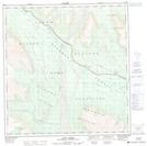
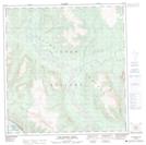
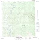
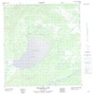
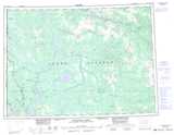
Donjek River NTS Map Sheets
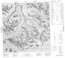
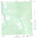
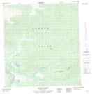
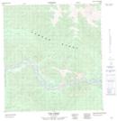
115B14 Kluane Glacier Topographic Map at 1:50,000 scale
115G03 Bighorn Creek Topographic Map at 1:50,000 scale
115G04 Donjek Glacier Topographic Map at 1:50,000 scale
115G05 Steele Creek Topographic Map at 1:50,000 scale
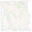
115G12 Lynx Creek Topographic Map at 1:50,000 scale
115G13 Tom Murray Creek Topographic Map at 1:50,000 scale
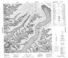
115J04 Mackinnon Creek Topographic Map at 1:50,000 scale
115J05 Wellesley Lake Topographic Map at 1:50,000 scale
115J06 No Title Topographic Map at 1:50,000 scale
115J11 Doyle Creek Topographic Map at 1:50,000 scale
115J12 Tom Creek Topographic Map at 1:50,000 scale
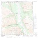
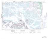
115B Mount St Elias Topographic Map at 1:250,000 scale
115G Kluane Lake Topographic Map at 1:250,000 scale
115J Stevenson Ridge Topographic Map at 1:250,000 scale