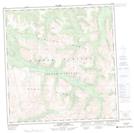
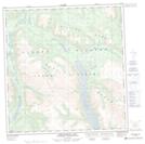
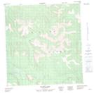
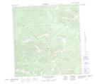
Maps showing Dwarf Birch Creek, Yukon
Dwarf Birch Creek is a River located in Yukon and has an elevation of 1108 meters.
- Latitude: 61° 55' 39'' North (decimal: 61.9275)
- Longitude: 138° 6' 58'' West (decimal: -138.1161111)
- Topography Feature Category: River
- Geographical Feature: Creek
- Canadian Province/Territory: Yukon
- Elevation: 1108 meters
- Atlas of Canada Locator Map: Dwarf Birch Creek
- GPS Coordinate Locator Map: Dwarf Birch Creek Lat/Long
Dwarf Birch Creek NTS Map Sheets