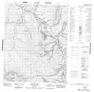
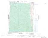
Maps showing Eagle Plains, Yukon
Eagle Plains is a Unincorporated area located in Yukon and has an elevation of 632 meters.
- Latitude: 66° 22' 20'' North (decimal: 66.3722222)
- Longitude: 136° 43' 8'' West (decimal: -136.7188889)
- Topography Feature Category: Unincorporated area
- Geographical Feature: Locality
- Canadian Province/Territory: Yukon
- Elevation: 632 meters
- Atlas of Canada Locator Map: Eagle Plains
- GPS Coordinate Locator Map: Eagle Plains Lat/Long
Eagle Plains NTS Map Sheets