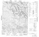
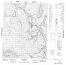
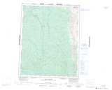
Maps showing Ehnjuu Choo Creek, Yukon
Ehnjuu Choo Creek is a River located in Yukon and has an elevation of 635 meters.
- Latitude: 66° 13' 41'' North (decimal: 66.2280555)
- Longitude: 136° 34' 29'' West (decimal: -136.5747222)
- Topography Feature Category: River
- Geographical Feature: Creek
- Canadian Province/Territory: Yukon
- Elevation: 635 meters
- Atlas of Canada Locator Map: Ehnjuu Choo Creek
- GPS Coordinate Locator Map: Ehnjuu Choo Creek Lat/Long
Ehnjuu Choo Creek NTS Map Sheets