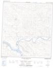
Maps showing Mount Evans, Yukon
Mount Evans is a Mountain located in Yukon.
- Latitude: 62° 56' 52'' North (decimal: 62.9477777)
- Longitude: 137° 3' 42'' West (decimal: -137.0616667)
- Topography Feature Category: Mountain
- Geographical Feature: Mount
- Canadian Province/Territory: Yukon
- Atlas of Canada Locator Map: Mount Evans
- GPS Coordinate Locator Map: Mount Evans Lat/Long
Mount Evans NTS Map Sheets