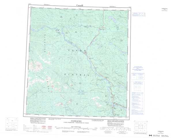
115I Carmacks Topographic Maps
Maps for the Carmacks map sheet 115I at 1:250,000 scale are available in 5 versions:
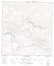
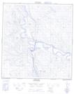
Topographic Map of Carmacks
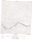
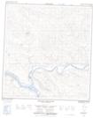
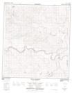
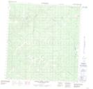
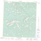
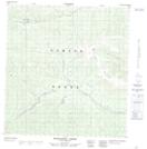
1:50,000 Scale Topos for Carmacks 115I:
 |
 |
 |
 |
 |
 |
 |
 |
 |
 |
 |
 |
 |
 |
 |
 |
115I Related Maps:
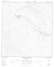
115I Carmacks
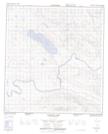
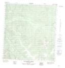
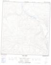
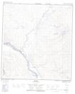
115I01 Carmacks
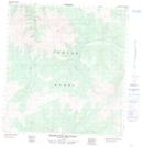
115I02 Rowlinson Creek
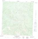
115I03 Mount Nansen
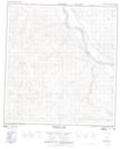
115I04 False Teeth Creek
115I05 Prospector Mountain
115I06 Stoddart Creek
115I07 Merrice Lake
115I08 Yukon Crossing
115I09 Ptarmigan Mountain
115I10 Minto
115I11 Dark Creek
115I12 Wolverine Creek
115I13 Black Creek
115I14 Volcano Mountain
115I15 Pelly Crossing
115I16 Diamain Lake
115I01 Carmacks
115I02 Rowlinson Creek
115I03 Mount Nansen
115I04 False Teeth Creek
115I05 Prospector Mountain
115I06 Stoddart Creek
115I07 Merrice Lake
115I08 Yukon Crossing
115I09 Ptarmigan Mountain
115I10 Minto
115I11 Dark Creek
115I12 Wolverine Creek
115I13 Black Creek
115I14 Volcano Mountain
115I15 Pelly Crossing
115I16 Diamain Lake
