Canada Topographic Maps

Fish Creek Topo Maps

Topography maps and Latitude/Longitude Location

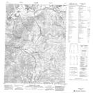
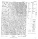
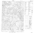
Maps showing Fish Creek, Yukon

Fish Creek is a River located in Yukon.

  • Latitude: 67° 53' 4'' North   (decimal: 67.8844444)
  • Longitude: 136° 26' 53'' West   (decimal: -136.4480556)
  • Topography Feature Category: River
  • Geographical Feature: Creek
  • Canadian Province/Territory: Yukon
  • Atlas of Canada Locator Map: Fish Creek
  • GPS Coordinate Locator Map: Fish Creek Lat/Long

Fish Creek NTS Map Sheets

116P09 Mcdougall Pass Topographic Map at 1:50,000 scale

116P15 Vunta Creek Topographic Map at 1:50,000 scale

116P16 Scho Creek Topographic Map at 1:50,000 scale

116P Bell River Topographic Map at 1:250,000 scale

 
Buy Topographic Maps DVD
Newsletter Sign-up

Yes, I want to receive map store discounts.


Bookmark and Share