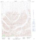
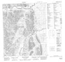
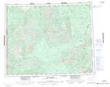
Maps showing Mount Fowlie, Yukon
Mount Fowlie is a Mountain located in Yukon and has an elevation of 1174 meters.
- Latitude: 64° 47' 16'' North (decimal: 64.7877777)
- Longitude: 139° 11' 32'' West (decimal: -139.1922222)
- Topography Feature Category: Mountain
- Geographical Feature: Mount
- Canadian Province/Territory: Yukon
- Elevation: 1174 meters
- Atlas of Canada Locator Map: Mount Fowlie
- GPS Coordinate Locator Map: Mount Fowlie Lat/Long
Mount Fowlie NTS Map Sheets