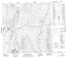
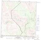
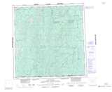
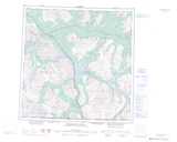
Maps showing Mount Gilliland, Yukon
Mount Gilliland is a Mountain located in Yukon and has an elevation of 1308 meters.
- Latitude: 60° 12' 22'' North (decimal: 60.2061111)
- Longitude: 137° 20' 34'' West (decimal: -137.3427778)
- Topography Feature Category: Mountain
- Geographical Feature: Mount
- Canadian Province/Territory: Yukon
- Elevation: 1308 meters
- Atlas of Canada Locator Map: Mount Gilliland
- GPS Coordinate Locator Map: Mount Gilliland Lat/Long
Mount Gilliland NTS Map Sheets