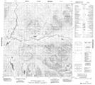
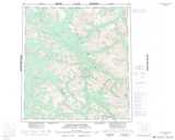
Maps showing Gull Lake, Yukon
Gull Lake is a Lake located in Yukon and has an elevation of 1096 meters.
- Latitude: 62° 15' 58'' North (decimal: 62.2661111)
- Longitude: 129° 50' 57'' West (decimal: -129.8491667)
- Topography Feature Category: Lake
- Geographical Feature: Lake
- Canadian Province/Territory: Yukon
- Elevation: 1096 meters
- Atlas of Canada Locator Map: Gull Lake
- GPS Coordinate Locator Map: Gull Lake Lat/Long
Gull Lake NTS Map Sheets