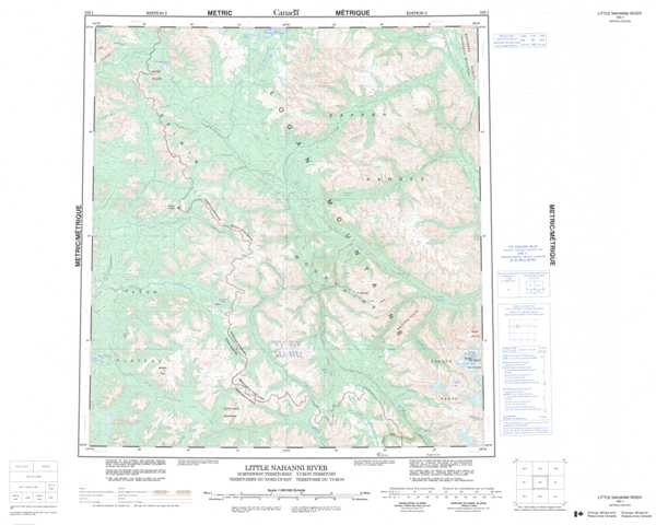
105I Little Nahanni River Topographic Maps
Maps for the Little Nahanni River map sheet 105I at 1:250,000 scale are available in 5 versions:
Topographic Map of Little Nahanni River
1:50,000 Scale Topos for Little Nahanni River 105I:
 |
 |
 |
 |
 |
 |
 |
 |
 |
 |
 |
 |
 |
 |
 |
 |
105I Related Maps:
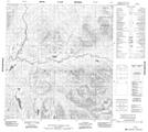
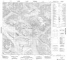
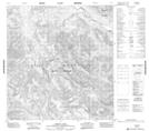
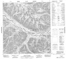
105I Little Nahanni River
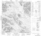
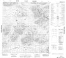
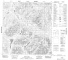
105I01 Shelf Lake
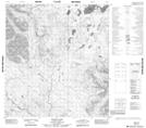
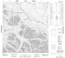
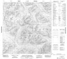
105I02 Upper Hyland Lake
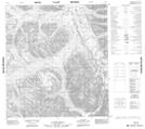
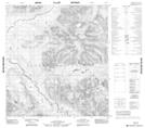
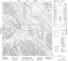
105I03 Little Owls Mountain
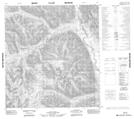
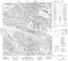
105I04 Mount Pike
105I05 No Title
105I06 Placer Creek
105I07 Dozer Lake
105I08 Mount Appler
105I09 No Title
105I10 No Title
105I11 No Title
105I12 No Title
105I13 Mount Wilson
105I14 Jones Lake
105I15 No Title
105I16 No Title
105I01 Shelf Lake
105I02 Upper Hyland Lake
105I03 Little Owls Mountain
105I04 Mount Pike
105I05 No Title
105I06 Placer Creek
105I07 Dozer Lake
105I08 Mount Appler
105I09 No Title
105I10 No Title
105I11 No Title
105I12 No Title
105I13 Mount Wilson
105I14 Jones Lake
105I15 No Title
105I16 No Title
