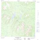
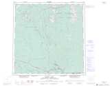
Maps showing Heigelberg Lake, Yukon
Heigelberg Lake is a Lake located in Yukon.
- Latitude: 60° 53' 35'' North (decimal: 60.8931000)
- Longitude: 129° 49' 0'' West (decimal: -129.8167000)
- Topography Feature Category: Lake
- Geographical Feature: Lake
- Canadian Province/Territory: Yukon
- GPS Coordinate Locator Map: Heigelberg Lake Lat/Long
Heigelberg Lake NTS Map Sheets