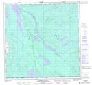
Maps showing High Creek, Yukon
High Creek is a River located in Yukon and has an elevation of 832 meters.
- Latitude: 60° 1' 21'' North (decimal: 60.0225)
- Longitude: 133° 48' 37'' West (decimal: -133.8102778)
- Topography Feature Category: River
- Geographical Feature: Creek
- Canadian Province/Territory: Yukon
- Elevation: 832 meters
- Atlas of Canada Locator Map: High Creek
- GPS Coordinate Locator Map: High Creek Lat/Long
High Creek NTS Map Sheets