105C Teslin Topographic Maps
Maps for the Teslin map sheet 105C at 1:250,000 scale are available in 5 versions:
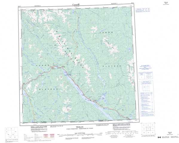
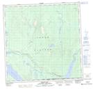
Topographic Map of Teslin
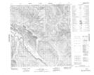
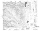
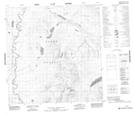
1:50,000 Scale Topos for Teslin 105C:
 |
 |
 |
 |
 |
 |
 |
 |
 |
 |
 |
 |
 |
  |
 |
 |
105C Related Maps:
105C Teslin
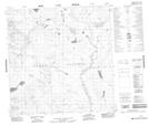
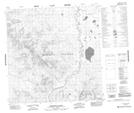
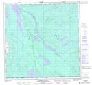
105C01 Morley Lake
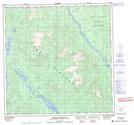
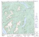
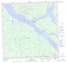
105C02 Teslin
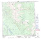
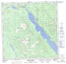
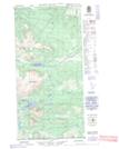
105C03E Mount Bryde
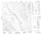
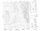
105C03W Mount Bryde
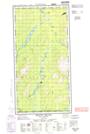
105C04 Lubbock River
105C05 Squanga Lake
105C06 Brooks Brook
105C07 Lone Tree Creek
105C08 English Creek
105C09 Thirtymile Range
105C10 Thirtymile Creek
105C11 Mount Grant
105C12 Streak Mountain
105C13 Rosy Lake
105C14 Iron Creek
105C15 No Title
105C16 No Title
105C01 Morley Lake
105C02 Teslin
105C03E Mount Bryde
105C03W Mount Bryde
105C04 Lubbock River
105C05 Squanga Lake
105C06 Brooks Brook
105C07 Lone Tree Creek
105C08 English Creek
105C09 Thirtymile Range
105C10 Thirtymile Creek
105C11 Mount Grant
105C12 Streak Mountain
105C13 Rosy Lake
105C14 Iron Creek
105C15 No Title
105C16 No Title
