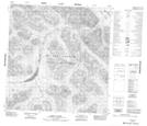
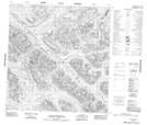
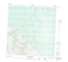
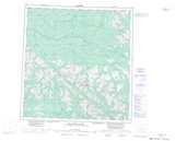
Maps showing Hoole River, Yukon
Hoole River is a River located in Yukon and has an elevation of 1091 meters.
- Latitude: 61° 44' 57'' North (decimal: 61.7491666)
- Longitude: 131° 42' 38'' West (decimal: -131.7105556)
- Topography Feature Category: River
- Geographical Feature: River
- Canadian Province/Territory: Yukon
- Elevation: 1091 meters
- Atlas of Canada Locator Map: Hoole River
- GPS Coordinate Locator Map: Hoole River Lat/Long
Hoole River NTS Map Sheets