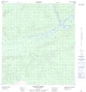
Maps showing Horseshoe Slough, Yukon
Horseshoe Slough is a River feature located in Yukon and has an elevation of 565 meters.
- Latitude: 63° 25' 33'' North (decimal: 63.4258333)
- Longitude: 135° 2' 7'' West (decimal: -135.0352778)
- Topography Feature Category: River feature
- Geographical Feature: Slough
- Canadian Province/Territory: Yukon
- Elevation: 565 meters
- Atlas of Canada Locator Map: Horseshoe Slough
- GPS Coordinate Locator Map: Horseshoe Slough Lat/Long