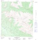
Maps showing Hotspring Creek, Yukon
Hotspring Creek is a River located in Yukon and has an elevation of 1320 meters.
- Latitude: 63° 0' 32'' North (decimal: 63.0088888)
- Longitude: 135° 51' 17'' West (decimal: -135.8547222)
- Topography Feature Category: River
- Geographical Feature: Creek
- Canadian Province/Territory: Yukon
- Elevation: 1320 meters
- Atlas of Canada Locator Map: Hotspring Creek
- GPS Coordinate Locator Map: Hotspring Creek Lat/Long