Canada Topographic Maps

Junker Creek Topo Maps

Topography maps and Latitude/Longitude Location

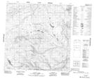
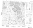
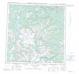
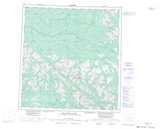
Maps showing Junker Creek, Yukon

Junker Creek is a River located in Yukon.

  • Latitude: 60° 58' 50'' North   (decimal: 60.9805999)
  • Longitude: 131° 18' 0'' West   (decimal: -131.3000000)
  • Topography Feature Category: River
  • Geographical Feature: Creek
  • Canadian Province/Territory: Yukon
  • GPS Coordinate Locator Map: Junker Creek Lat/Long

Junker Creek NTS Map Sheets

105B14 Scurvy Lakes Topographic Map at 1:50,000 scale

105G03 Junkers Lake Topographic Map at 1:50,000 scale

105B Wolf Lake Topographic Map at 1:250,000 scale

105G Finlayson Lake Topographic Map at 1:250,000 scale

 
Buy Topographic Maps DVD
Newsletter Sign-up

Yes, I want to receive map store discounts.


Bookmark and Share