Canada Topographic Maps

La Biche River Topo Maps

Topography maps and Latitude/Longitude Location

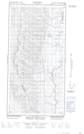
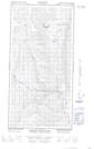
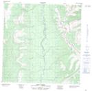
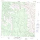
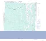
Maps showing La Biche River, Yukon

La Biche River is a River located in Yukon and has an elevation of 470 meters.

  • Latitude: 60° 0' 0'' North   (decimal: 60)
  • Longitude: 124° 5' 45'' West   (decimal: -124.0958333)
  • Topography Feature Category: River
  • Geographical Feature: River
  • Canadian Province/Territory: Yukon
  • Elevation: 470 meters
  • Atlas of Canada Locator Map: La Biche River
  • GPS Coordinate Locator Map: La Biche River Lat/Long

La Biche River NTS Map Sheets

095C01E Mount Martin Topographic Map at 1:50,000 scale

095C01W Mount Martin Topographic Map at 1:50,000 scale

095C07E Brown Lake Topographic Map at 1:50,000 scale

095C07W Brown Lake Topographic Map at 1:50,000 scale

095C08E Babiche Mountain Topographic Map at 1:50,000 scale

095C08W Babiche Mountain Topographic Map at 1:50,000 scale

095C10 Tika Creek Topographic Map at 1:50,000 scale

095C15 Dendale Lake Topographic Map at 1:50,000 scale

095C La Biche River Topographic Map at 1:250,000 scale

 
Buy Topographic Maps DVD
Newsletter Sign-up

Yes, I want to receive map store discounts.


Bookmark and Share