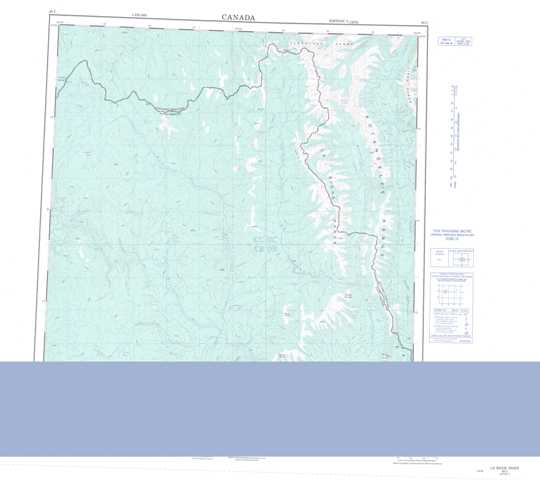
095C La Biche River Topographic Maps
Maps for the La Biche River map sheet 095C at 1:250,000 scale are available in 5 versions:
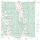
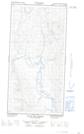
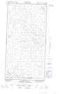
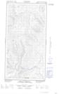
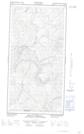
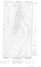
Topographic Map of La Biche River
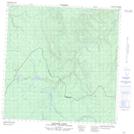
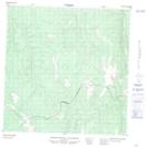
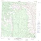
1:50,000 Scale Topos for La Biche River 095C:
 |
 |
 |
 |
 |
 |
 |
 |
  |
  |
  |
  |
  |
  |
  |
  |
095C Related Maps:
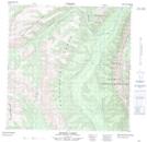
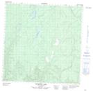
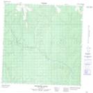
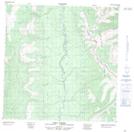
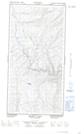
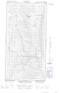
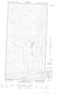
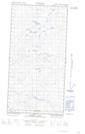
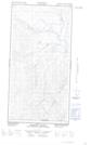
095C La Biche River
095C01E Mount Martin
095C01W Mount Martin
095C02E Mount Merrill
095C02W Mount Merrill
095C03E Mooney Creek
095C03W Mooney Creek
095C04E Larsen Lake
095C04W Larsen Lake
095C05E Pool Creek
095C05W Pool Creek
095C06E Gold Pay Creek
095C06W Gold Pay Creek
095C07E Brown Lake
095C07W Brown Lake
095C08E Babiche Mountain
095C08W Babiche Mountain
095C09 Chinkeh Creek
095C10 Tika Creek
095C11 Whitefish River
095C12 Jackpine Lake
095C13 Balsam Lake
095C14 No Title
095C15 Dendale Lake
095C16 Etanda Lakes
