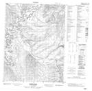
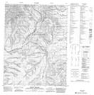
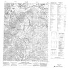
Maps showing La Chute River, Yukon
La Chute River is a River located in Yukon and has an elevation of 497 meters.
- Latitude: 67° 25' 36'' North (decimal: 67.4266666)
- Longitude: 136° 54' 1'' West (decimal: -136.9002778)
- Topography Feature Category: River
- Geographical Feature: River
- Canadian Province/Territory: Yukon
- Elevation: 497 meters
- Atlas of Canada Locator Map: La Chute River
- GPS Coordinate Locator Map: La Chute River Lat/Long
La Chute River NTS Map Sheets