Canada Topographic Maps

Lake Creek Topo Maps

Topography maps and Latitude/Longitude Location

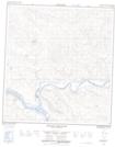
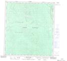
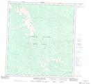
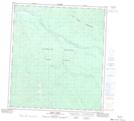
Maps showing Lake Creek, Yukon

Lake Creek is a River located in Yukon and has an elevation of 451 meters.

  • Latitude: 63° 28' 54'' North   (decimal: 63.4816666)
  • Longitude: 137° 53' 50'' West   (decimal: -137.8972222)
  • Topography Feature Category: River
  • Geographical Feature: Creek
  • Canadian Province/Territory: Yukon
  • Elevation: 451 meters
  • Atlas of Canada Locator Map: Lake Creek
  • GPS Coordinate Locator Map: Lake Creek Lat/Long

Lake Creek NTS Map Sheets

115I14 Volcano Mountain Topographic Map at 1:50,000 scale

115P02 Willow Lake Topographic Map at 1:50,000 scale

115P03 Coldspring Mountain Topographic Map at 1:50,000 scale

115P05 Pirate Creek Topographic Map at 1:50,000 scale

115P06 Reid Lakes Topographic Map at 1:50,000 scale

115P07 Stewart Crossing Topographic Map at 1:50,000 scale

115I Carmacks Topographic Map at 1:250,000 scale

115P Mcquesten Topographic Map at 1:250,000 scale

 
Buy Topographic Maps DVD
Newsletter Sign-up

Yes, I want to receive map store discounts.


Bookmark and Share