Canada Topographic Maps

Larsen Creek Topo Maps

Topography maps and Latitude/Longitude Location

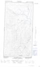
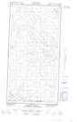
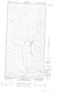
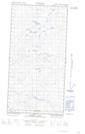
Maps showing Larsen Creek, Yukon

Larsen Creek is a River located in Yukon and has an elevation of 796 meters.

  • Latitude: 60° 9' 48'' North   (decimal: 60.1633333)
  • Longitude: 125° 0' 43'' West   (decimal: -125.0119444)
  • Topography Feature Category: River
  • Geographical Feature: Creek
  • Canadian Province/Territory: Yukon
  • Elevation: 796 meters
  • Atlas of Canada Locator Map: Larsen Creek
  • GPS Coordinate Locator Map: Larsen Creek Lat/Long

Larsen Creek NTS Map Sheets

095C03E Mooney Creek Topographic Map at 1:50,000 scale

095C03W Mooney Creek Topographic Map at 1:50,000 scale

095C04E Larsen Lake Topographic Map at 1:50,000 scale

095C04W Larsen Lake Topographic Map at 1:50,000 scale

095C La Biche River Topographic Map at 1:250,000 scale

 
Buy Topographic Maps DVD
Newsletter Sign-up

Yes, I want to receive map store discounts.


Bookmark and Share