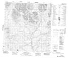
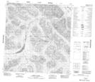
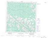
Maps showing Mount Lewis, Yukon
Mount Lewis is a Mountain located in Yukon and has an elevation of 1636 meters.
- Latitude: 61° 14' 55'' North (decimal: 61.2486111)
- Longitude: 131° 33' 57'' West (decimal: -131.5658333)
- Topography Feature Category: Mountain
- Geographical Feature: Mount
- Canadian Province/Territory: Yukon
- Elevation: 1636 meters
- Atlas of Canada Locator Map: Mount Lewis
- GPS Coordinate Locator Map: Mount Lewis Lat/Long
Mount Lewis NTS Map Sheets