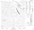
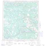
Maps showing Little Fish Hook Rapids, Yukon
Little Fish Hook Rapids is a Rapids located in Yukon.
- Latitude: 62° 27' 35'' North (decimal: 62.4597222)
- Longitude: 134° 5' 48'' West (decimal: -134.0966667)
- Topography Feature Category: Rapids
- Geographical Feature: Rapids
- Canadian Province/Territory: Yukon
- Atlas of Canada Locator Map: Little Fish Hook Rapids
- GPS Coordinate Locator Map: Little Fish Hook Rapids Lat/Long
Little Fish Hook Rapids NTS Map Sheets