Maps showing Loney Creek, Yukon
Loney Creek is a River located in Yukon.
- Latitude: 69° 21' 59'' North (decimal: 69.3663888)
- Longitude: 139° 32' 13'' West (decimal: -139.5369444)
- Topography Feature Category: River
- Geographical Feature: Creek
- Canadian Province/Territory: Yukon
- Atlas of Canada Locator Map: Loney Creek
- GPS Coordinate Locator Map: Loney Creek Lat/Long
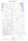
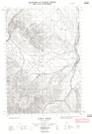
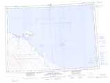
Loney Creek NTS Map Sheets