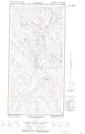
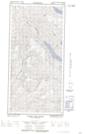
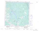
Maps showing Malamute Mountain, Yukon
Malamute Mountain is a Mountain located in Yukon.
- Latitude: 61° 17' 18'' North (decimal: 61.2883333)
- Longitude: 136° 18' 49'' West (decimal: -136.3136111)
- Topography Feature Category: Mountain
- Geographical Feature: Mountain
- Canadian Province/Territory: Yukon
- Atlas of Canada Locator Map: Malamute Mountain
- GPS Coordinate Locator Map: Malamute Mountain Lat/Long
Malamute Mountain NTS Map Sheets