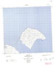
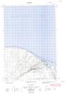
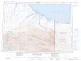
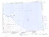
Maps showing Malcolm River, Yukon
Malcolm River is a River located in Yukon and has an elevation of 185 meters.
- Latitude: 69° 32' 55'' North (decimal: 69.5486111)
- Longitude: 139° 35' 29'' West (decimal: -139.5913889)
- Topography Feature Category: River
- Geographical Feature: River
- Canadian Province/Territory: Yukon
- Elevation: 185 meters
- Atlas of Canada Locator Map: Malcolm River
- GPS Coordinate Locator Map: Malcolm River Lat/Long
Malcolm River NTS Map Sheets
117C01 Empire Mountain Topographic Map at 1:50,000 scale
117C08 Malcolm River Topographic Map at 1:50,000 scale
117D05E Loney Creek Topographic Map at 1:50,000 scale
117D05W Loney Creek Topographic Map at 1:50,000 scale
117D12E Herschel Island Topographic Map at 1:50,000 scale
117D12W Herschel Island Topographic Map at 1:50,000 scale
117C Demarcation Point Topographic Map at 1:250,000 scale
117D Herschel Island Topographic Map at 1:250,000 scale