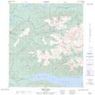
Maps showing McLeod Creek, Yukon
McLeod Creek is a River located in Yukon.
- Latitude: 63° 54' 13'' North (decimal: 63.9036111)
- Longitude: 135° 20' 19'' West (decimal: -135.3386111)
- Topography Feature Category: River
- Geographical Feature: Creek
- Canadian Province/Territory: Yukon
- Atlas of Canada Locator Map: McLeod Creek
- GPS Coordinate Locator Map: McLeod Creek Lat/Long