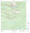
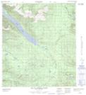
Maps showing Nelson Ridge, Yukon
Nelson Ridge is a Mountain located in Yukon and has an elevation of 1595 meters.
- Latitude: 63° 39' 25'' North (decimal: 63.6569444)
- Longitude: 134° 16' 50'' West (decimal: -134.2805556)
- Topography Feature Category: Mountain
- Geographical Feature: Ridge
- Canadian Province/Territory: Yukon
- Elevation: 1595 meters
- Atlas of Canada Locator Map: Nelson Ridge
- GPS Coordinate Locator Map: Nelson Ridge Lat/Long
Nelson Ridge NTS Map Sheets