Maps showing Ogilvie River, Yukon
Ogilvie River is a River located in Yukon and has an elevation of 438 meters.
- Latitude: 65° 51' 16'' North (decimal: 65.8544444)
- Longitude: 137° 15' 26'' West (decimal: -137.2572222)
- Topography Feature Category: River
- Geographical Feature: River
- Canadian Province/Territory: Yukon
- Elevation: 438 meters
- Atlas of Canada Locator Map: Ogilvie River
- GPS Coordinate Locator Map: Ogilvie River Lat/Long
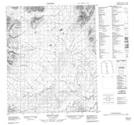
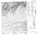
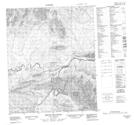
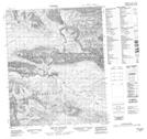
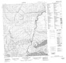
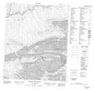
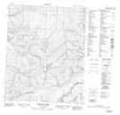
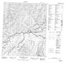
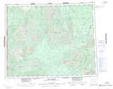
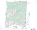
Ogilvie River NTS Map Sheets
116G05 Mount Gale Topographic Map at 1:50,000 scale
116G06 Mount Chief Isaac Topographic Map at 1:50,000 scale
116G07 Mount Bouvette Topographic Map at 1:50,000 scale
116G08 Mount Jeckell Topographic Map at 1:50,000 scale
116G09 Churchward Hill Topographic Map at 1:50,000 scale
116H12 Mount Cronkhite Topographic Map at 1:50,000 scale
116H13 Scriver Creek Topographic Map at 1:50,000 scale
116H14 Enterprise Creek Topographic Map at 1:50,000 scale
116G Ogilvie River Topographic Map at 1:250,000 scale
116H Hart River Topographic Map at 1:250,000 scale