Canada Topographic Maps

Patterson Range Topo Maps

Topography maps and Latitude/Longitude Location

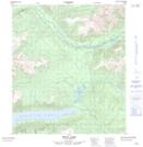
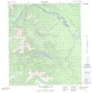
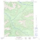
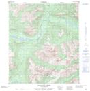
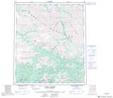
Maps showing Patterson Range, Yukon

Patterson Range is a Mountain located in Yukon and has an elevation of 1741 meters.

  • Latitude: 64° 2' 29'' North   (decimal: 64.0413888)
  • Longitude: 134° 37' 28'' West   (decimal: -134.6244444)
  • Topography Feature Category: Mountain
  • Geographical Feature: Range
  • Canadian Province/Territory: Yukon
  • Elevation: 1741 meters
  • Atlas of Canada Locator Map: Patterson Range
  • GPS Coordinate Locator Map: Patterson Range Lat/Long

Patterson Range NTS Map Sheets

105M15 Mayo Lake Topographic Map at 1:50,000 scale

105M16 Tiny Island Lake Topographic Map at 1:50,000 scale

106D01 Mount Westman Topographic Map at 1:50,000 scale

106D02 Scougale Creek Topographic Map at 1:50,000 scale

105M Mayo Topographic Map at 1:250,000 scale

106D Nash Creek Topographic Map at 1:250,000 scale

 
Buy Topographic Maps DVD
Newsletter Sign-up

Yes, I want to receive map store discounts.


Bookmark and Share