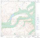
Maps showing Perkins Peak, Yukon
Perkins Peak is a Mountain located in Yukon.
- Latitude: 60° 19' 20'' North (decimal: 60.3222000)
- Longitude: 135° 6' 55'' West (decimal: -135.1153000)
- Topography Feature Category: Mountain
- Geographical Feature: Peak
- Canadian Province/Territory: Yukon
- GPS Coordinate Locator Map: Perkins Peak Lat/Long
Perkins Peak NTS Map Sheets