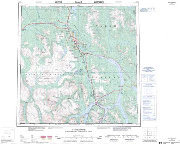
105D Whitehorse Topographic Maps
Maps for the Whitehorse map sheet 105D at 1:250,000 scale are available in 5 versions:
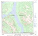
Topographic Map of Whitehorse
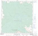
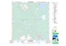
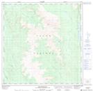
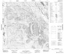
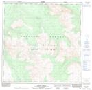
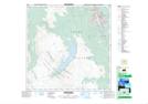
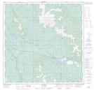
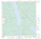
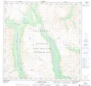
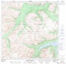
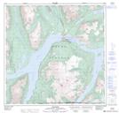
1:50,000 Scale Topos for Whitehorse 105D:
 |
 |
 |
 |
 |
 |
 |
 |
 |
 |
 |
 |
 |
 |
 |
 |
105D Related Maps:
105D Whitehorse
105D01 Jubilee Mountain
105D02 Carcross
105D03 Fenwick Creek
105D04 Takhini Lake
105D05 Rose Lake
105D06 Alligator Lake
105D07 Robinson
105D08 Tagish
105D09 Michie Creek
105D10 Macrae
105D11 Whitehorse
105D12 Mount Arkell
105D13 Thirty Seven Mile Creek
105D14 Upper Laberge
105D15 Joe Mountain
105D16 Mount M'Clintock
