Canada Topographic Maps

Quartz Creek Topo Maps

Topography maps and Latitude/Longitude Location

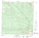
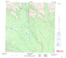
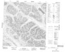
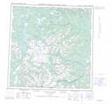
Maps showing Quartz Creek, Yukon

Quartz Creek is a River located in Yukon and has an elevation of 1708 meters.

  • Latitude: 60° 51' 8'' North   (decimal: 60.8522222)
  • Longitude: 130° 34' 35'' West   (decimal: -130.5763889)
  • Topography Feature Category: River
  • Geographical Feature: Creek
  • Canadian Province/Territory: Yukon
  • Elevation: 1708 meters
  • Atlas of Canada Locator Map: Quartz Creek
  • GPS Coordinate Locator Map: Quartz Creek Lat/Long

Quartz Creek NTS Map Sheets

105B15 Scurvy Creek Topographic Map at 1:50,000 scale

105B16 Black River Topographic Map at 1:50,000 scale

105G02 Fire Lake Topographic Map at 1:50,000 scale

105B Wolf Lake Topographic Map at 1:250,000 scale

105G Finlayson Lake Topographic Map at 1:250,000 scale

 
Buy Topographic Maps DVD
Newsletter Sign-up

Yes, I want to receive map store discounts.


Bookmark and Share