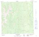
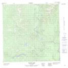
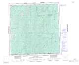
Maps showing Quartz Creek, Yukon
Quartz Creek is a River located in Yukon and has an elevation of 756 meters.
- Latitude: 60° 29' 55'' North (decimal: 60.4986111)
- Longitude: 127° 30' 38'' West (decimal: -127.5105556)
- Topography Feature Category: River
- Geographical Feature: Creek
- Canadian Province/Territory: Yukon
- Elevation: 756 meters
- Atlas of Canada Locator Map: Quartz Creek
- GPS Coordinate Locator Map: Quartz Creek Lat/Long
Quartz Creek NTS Map Sheets