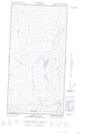
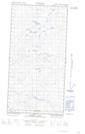
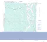
Maps showing Redpot Creek, Yukon
Redpot Creek is a River located in Yukon.
- Latitude: 60° 1' 45'' North (decimal: 60.0291666)
- Longitude: 125° 37' 25'' West (decimal: -125.6236111)
- Topography Feature Category: River
- Geographical Feature: Creek
- Canadian Province/Territory: Yukon
- Atlas of Canada Locator Map: Redpot Creek
- GPS Coordinate Locator Map: Redpot Creek Lat/Long
Redpot Creek NTS Map Sheets