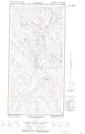
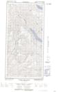
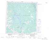
Maps showing Sakata Lake, Yukon
Sakata Lake is a Lake located in Yukon.
- Latitude: 61° 23' 17'' North (decimal: 61.3880555)
- Longitude: 136° 17' 32'' West (decimal: -136.2922222)
- Topography Feature Category: Lake
- Geographical Feature: Lake
- Canadian Province/Territory: Yukon
- Atlas of Canada Locator Map: Sakata Lake
- GPS Coordinate Locator Map: Sakata Lake Lat/Long
Sakata Lake NTS Map Sheets