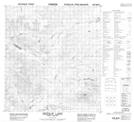
Maps showing Sideslip Creek, Yukon
Sideslip Creek is a River located in Yukon and has an elevation of 985 meters.
- Latitude: 63° 5' 40'' North (decimal: 63.0944444)
- Longitude: 135° 13' 20'' West (decimal: -135.2222222)
- Topography Feature Category: River
- Geographical Feature: Creek
- Canadian Province/Territory: Yukon
- Elevation: 985 meters
- Atlas of Canada Locator Map: Sideslip Creek
- GPS Coordinate Locator Map: Sideslip Creek Lat/Long