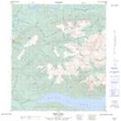
Maps showing Star Creek, Yukon
Star Creek is a River located in Yukon and has an elevation of 754 meters.
- Latitude: 63° 56' 54'' North (decimal: 63.9483333)
- Longitude: 135° 29' 37'' West (decimal: -135.4936111)
- Topography Feature Category: River
- Geographical Feature: Creek
- Canadian Province/Territory: Yukon
- Elevation: 754 meters
- Atlas of Canada Locator Map: Star Creek
- GPS Coordinate Locator Map: Star Creek Lat/Long